Popis
Vogt, Johann Georg Mauritius [Jan Jiří Mořic]: Mapa Čech.
Norimberk, Johann Zieger, vyobrazení Johann Leonard Blanck. Kolorovaná mědirytina, nedatováno [1712], grafické měřítko [cca 1:400 000], výška 656 mm, šířka 853 mm.
Historická, stará mapa.
Autor mapy Jan Jiří Mořic Vogt (30.6.1669 Königshofen-7.8.1730 Mariánská Týnice) byl zeměměřičem a zároveň členem cisterciáckého řádu v klášteře v Plasích. Vystudoval filozofii a teologii v Praze, oblíbil si historii a zeměpis Čech. Jde o první alegorii vodních toků.
Přehledná mapa Čech, bohatě zdobená barokními parergy s alegoriemi řek a zemědělství, vyšla roku 1712 v Norimberku u Jana Ziegera. Vogt na mapě zakreslil správní členění Čech na čtrnáct tehdejších krajů, kulturní, hospodářské i zeměpisné údaje a zajímavosti. Dvaceti čtyřmi mapovými značkami, vysvětlenými v legendě, znázornil opevněná města, neopevněná města a městečka, zámky, kláštery, vsi, kaple, zbořené zámky, mlýny, pošty, arcibiskupství a biskupství, latinské školy, naleziště zlata, stříbra, cínu, mědi, místa, kde se daří perlorodkám, termální prameny, sklárny, vinice, železné hutě a celní stanice. Terén zobrazil schematicky a pojmenoval jen významná česká horstva, např. Krkonoše. Pečlivě vykreslil vodní síť, zejména vltavský meandr v Praze. Velkou pozornost věnoval rybníkům. Síť hlavních cest směřuje na mapě do předního města království, Prahy. Vogtova mapa Čech nebyla v 1. polovině 18. století dosti oceněna, brzy ji nahradila přesnější mapa Čech Jana Kryštofa Müllera z roku 1720. Dnes patří k nejzajímavějším dílům kartografické tvorby v Českých zemích z počátku 18. století.
© Historický ústav Akademie věd ČR, Praha.
Jan Jiří Mořic Vogt – Map of Bohemia (1712)
Vogt, Johann Georg Mauritius [Jan Jiří Mořic]: Map of Bohemia. Nuremberg, Johann Zieger, illustrations Johann Leonard Blanck. Coloured copper-engraving, undated [1712], graphic scale [cca 1:400 000], height 656 mm, breadth 853 mm.
The author of the map Jan Jiří Mořic Vogt (30.6.1669 Königshofen-7.8.1730 Mariánská Týnice) was a land surveyor and member of the Cistercian Order in the Abbey at Plasy. He studied philosophy and theology in Prague, and had an enthusiastic interest in the history and geography of Bohemia. This is the first allegorical treatment of the watercourses.
The overview map of Bohemia, lavishly decorated with Baroque parergons containing allegories of rivers and agriculture, was published at Jan Zieger’s printing house in Nuremberg in 1712. On the map Vogt inscribed the correct division of Bohemia into the fourteen regions of the time, cultural, economic and geographical data and features of interest. Twenty-four map symbols, explained in the legend, represent fortified towns, unfortified towns and small towns, chateaux, monasteries, villages, shrines, demolished chateaux, mills, post offices, archdioceses and dioceses, Latin schools, deposits of gold, silver, tin, copper and places where pearl mussels thrive, thermal springs, glass works, vineyards, ironworks and customs stations. The terrain is rendered schematically and only important mountain ranges in Bohemia are shown, such as Krkonoš. Vogt has carefully inscribed the water network, especially the Vltava meander in Prague. He has devoted great attention to fishponds. The network of main roads is directed in the map into the leading city of the kingdom, Prague. Vogt’s map of Bohemia was not sufficiently appreciated in the early 18th century and was soon supplanted by Jan Kryštof Müller’s more accurate map of Bohemia of 1720. Today it is considered one of the most interesting works of cartography in the Bohemian Lands at the beginning of the 18th century.
© Historical Institute of the Academy of Sciences of the CR, Prague, sign. VIII/2/A-3220.

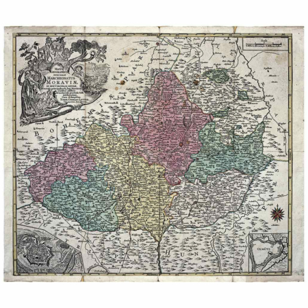
![Vogt, Jan Jiří Mořic – Mapa Čech [1712]](https://www.ateliermanufactura.com/wp-content/upLoads/Vogt_Cechy-1-1.jpg)
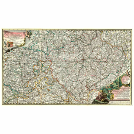
![Vogt, Jan Jiří Mořic - Mapa Čech [1712]. Tisk formátu A3.](https://www.ateliermanufactura.com/wp-content/upLoads/1011727-1.jpg)
![Vogt, Jan Jiří Mořic - Mapa Čech [1712]. Srovnání formátů A3 a A2.](https://www.ateliermanufactura.com/wp-content/upLoads/IMG_6884-1.jpg)
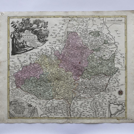
![Vogt, Jan Jiří Mořic - Mapa Čech [1712]. Tisk formátu A5 (složený arch A4) s obálkou C5.](https://www.ateliermanufactura.com/wp-content/upLoads/1011661-1.jpg)

![Vogt, Jan Jiří Mořic – Mapa Čech [1712]](https://www.ateliermanufactura.com/wp-content/upLoads/Vogt_Cechy-1-1-100x100.jpg)
![Vogt, Jan Jiří Mořic - Mapa Čech [1712]. Tisk formátu A3.](https://www.ateliermanufactura.com/wp-content/upLoads/1011727-1-100x100.jpg)
![Vogt, Jan Jiří Mořic - Mapa Čech [1712]. Srovnání formátů A3 a A2.](https://www.ateliermanufactura.com/wp-content/upLoads/IMG_6884-1-100x100.jpg)
![Vogt, Jan Jiří Mořic - Mapa Čech [1712]. Tisk formátu A5 (složený arch A4) s obálkou C5.](https://www.ateliermanufactura.com/wp-content/upLoads/1011661-1-100x100.jpg)


