Popis
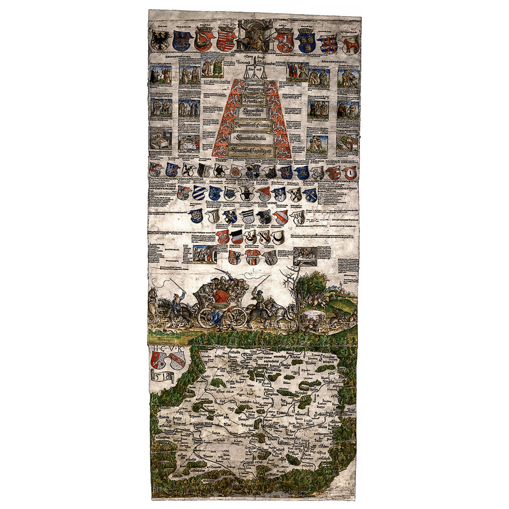
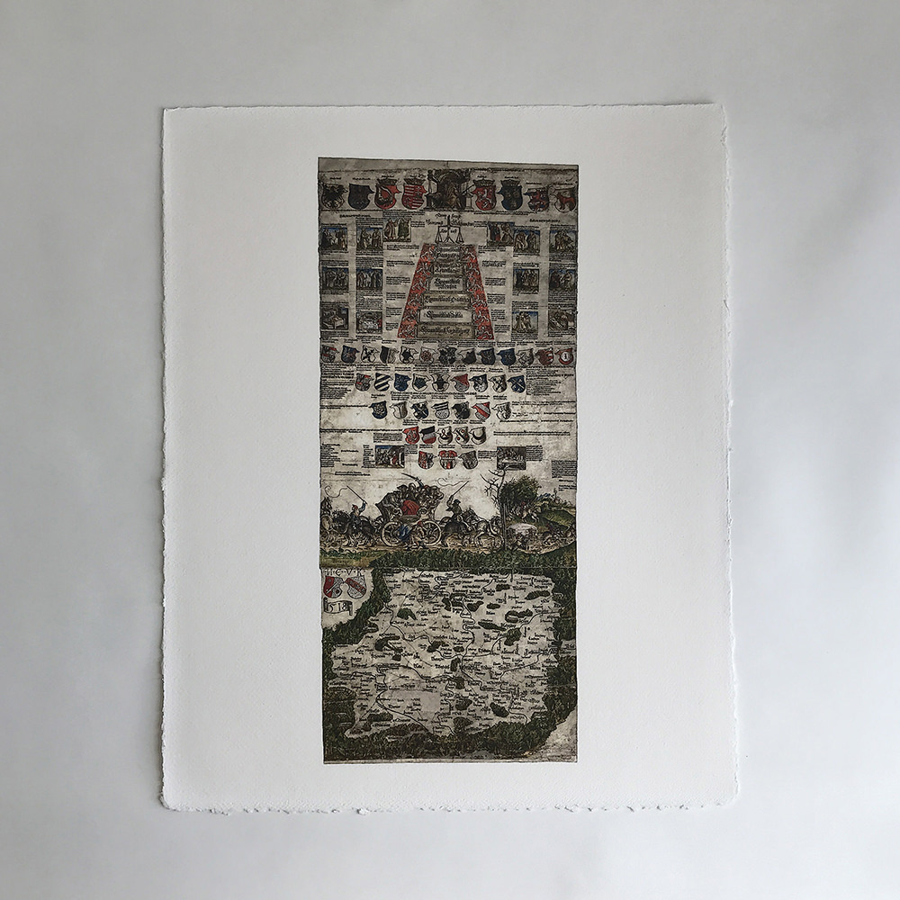
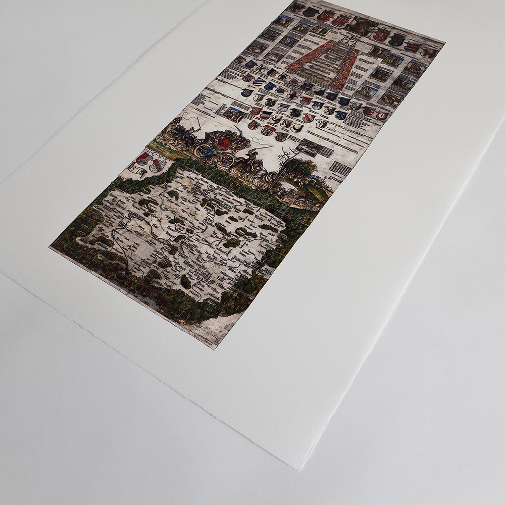
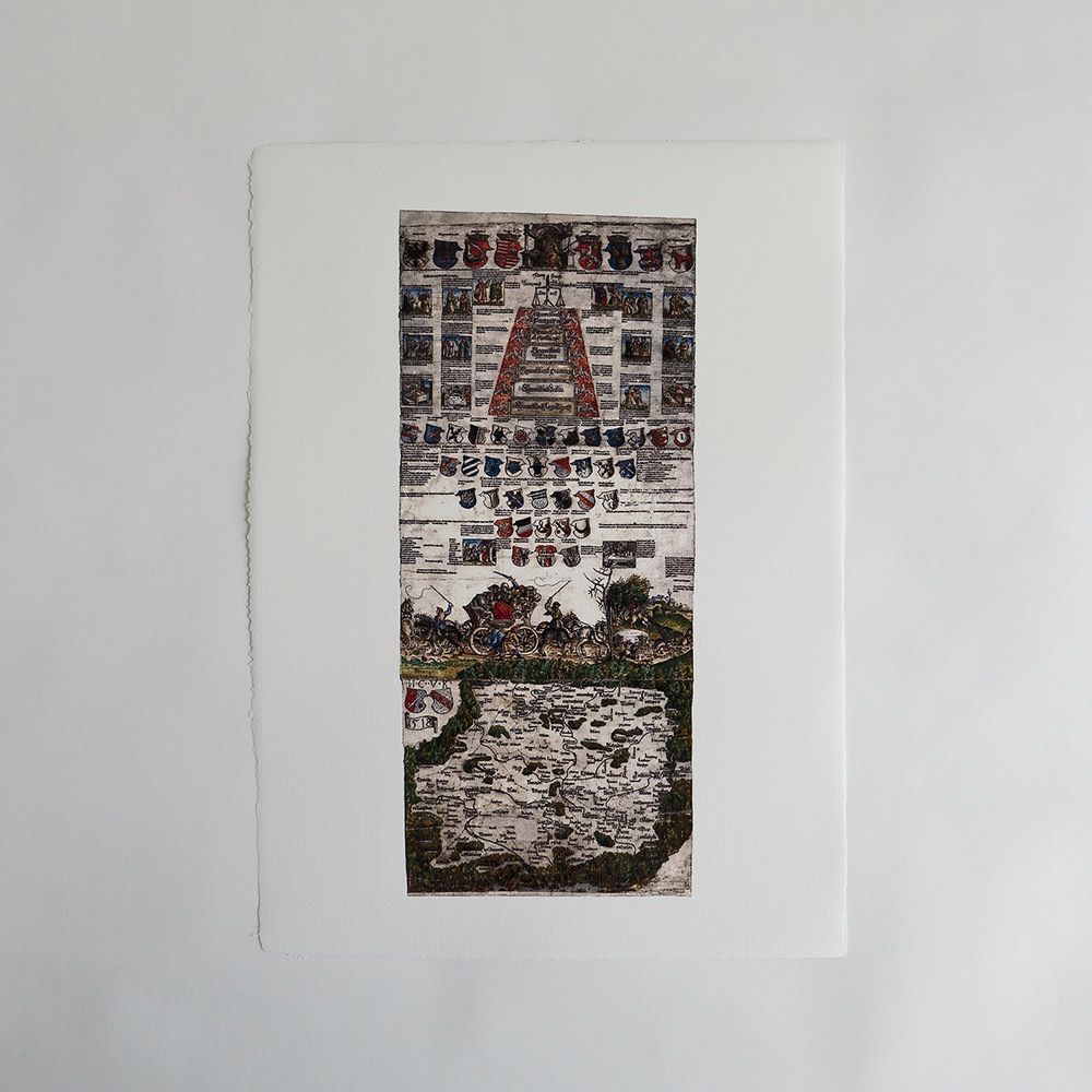
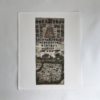
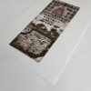
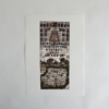
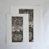
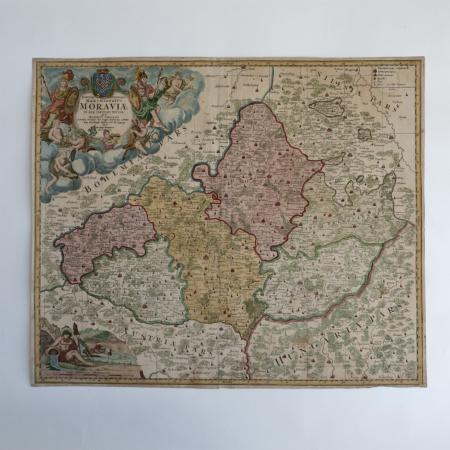
Klaudyánova mapa Čech z roku 1518.
Stará mapa
Bez názvu: uprostřed pravého okraje mapového listu poznámka: Mikulass Klaudian. Letha Bozieho Tisycziho pietísteho Sedmnaczteho; letopočet 1518 je umístěn pod štítem na levé straně listu.
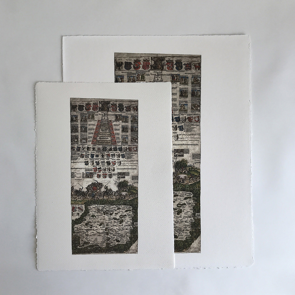
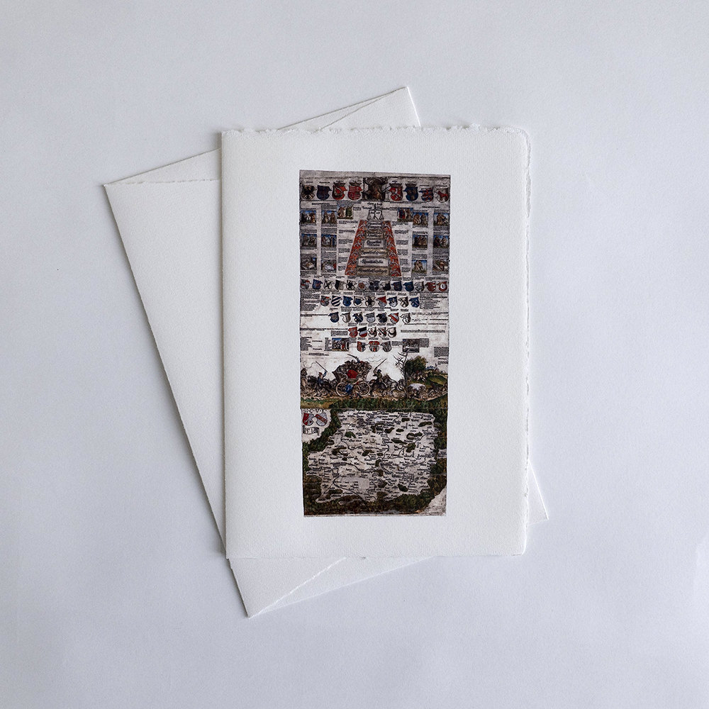
Mikuláš Klaudyán-Kulha-Claudianus (?-1522). nazývaný tak pravděpodobně podle své tělesné vady ( kulhavý = latinsky claudianus ), vstoupil do dějin české kartografie jako tvůrce první tištěné mapy Čech z roku 1518. Mladoboleslavský lékař a učenec podporoval činnost jednoty bratrské a po roce 1518 řídil v Mladé Boleslavi českobratrskou tiskárnu. Pro mapu Čech, o níž není dosud přesně známo, k jakým účelům byla vydána, nechal Klaudyán zhotovit v Norimberku dřevěné tiskařské desky a mapa se tiskla v dílně Jeronýma Hóltzela. Vlastní vyobrazení Čech (460×550 mm, měřítko cca 1 : 685 000) zabírá jen třetinu listu (1260x640mm). Obsahuje schematické znázornění lesů a pohoří, říční sít, hlavní zemské stezky s vyznačením vzdáleností, hrady a česká města rozlišená mapovými značkami na královská a poddanská, kališnická a katolická a na městečka. Horský val obklopuje Čechy s Kladskem, u pramenů Labe je jediný název pohoří „Krkonoss“. Pozoruhodná je obrazová a heraldická výzdoba, umístěná v horních dvou třetinách mapového listu. Je zde vyobrazen český a uherský král Ludvík Jagellonský se znaky zemí, pod ním alegorie spravedlnosti a sedm drobných obrázků – snad zrcadlo mravů ve spojení s výroky Písma. Následuje pět řad znaků nejvyšších zemských hodnostářů a znaky Prahy, Kutné Hory a Žatce. Výklad alegorických partií výzdoby – vozu zapřaženého v obou směrech jízdy a obsazeného rozhádanými cestujícími – je dodnes předmětem zájmu historiků jagellonského období. Kromě řady kopií ze 16. století se dochovaly kopie Klaudyánovy mapy od známého kartografa Františka Jakuba Jindřicha Kreibicha z počátku 19. století.
© Litoměřická diecéze.Klaudyan’s Map of Bohemia of 1518
Historical map
Untitled: in the centre of the right margin of the map sheet the note: Mikulass Klaudian. Letha Bozieho Tisycziho pietísteho Sedmnaczteho; the date 1518 is placed under the shield on the left side of the print.
Mikuláš Klaudyán-Kulha-Claudianus (?-1522), probably so named because of a physical dfect ( kulhavý = limping = claudianus in Latin), entered the history of Czech cartography as the creator of the first printed map of Bohemia from 1518. The Mladá Boleslav physician and man of learning supported the activity of the Unity of the Brethren and after 1518 set up a printing works for the Bohemian Brotherhood in Mladá Boleslav. For the map of Bohemia, published for reasons that are not precisely known, Klaudyán had wooden printing plates made in Nuremberg and the map was printed in the workshop of Jeroným Hóltzel. His own depiction of Bohemia (460×550 mm, scale 1 : 685 000) takes up only a third of the sheet (1260x640mm). It contains a schematic representation of forests and mountains ranges, the river network, the main land roads with distances marked, castles and Bohemian towns with map symbols indicating whether they were royal or private tributary towns, Utraquist or Catholic, or small towns. A mountain mound surrounds Bohemia and Klodzko, by the sources of the Labe there is the only mountain range title „Krkonoss“. The pictorial and heraldic decoration in the upper two thirds of the map sheet is noteworthy. Here we see depicted the King of the Bohemian and Hungarian Lands Ludwig Jagiellon with the emblems of the land, and underneath this an allegory of justice and seven small pictures – perhaps a mirror of morals in combination with statements from Scripture.
There follow five lines of the coats-of-arms of the highest land dignitaries and the coats-of-arms of Prague, Kutná Hora and Žatec. The interpretation of the allegorical parts of the ornament – a coach with horses harnessed in both directions and full of quarrelling travellers – is still a matter of interest to historians of the Jagiellon period. Apart from a series of 16th-century copies, copies of Klaudyán’s map made by the well-known cartographer František Jakub Jindřich Kreibich at the beginnng of the 19th century have survived as well.
Copyright © Diocese of Litoměřice
